Clarendon Sixth Form College under construction
Introduction
The photograph on this page of Clarendon Sixth Form College under construction by Bill Boaden as part of the Geograph project.
The Geograph project started in 2005 with the aim of publishing, organising and preserving representative images for every square kilometre of Great Britain, Ireland and the Isle of Man.

There are currently over 7.5m images from over 14,400 individuals and you can help contribute to the project by visiting https://www.geograph.org.uk
Clarendon Sixth Form College under construction
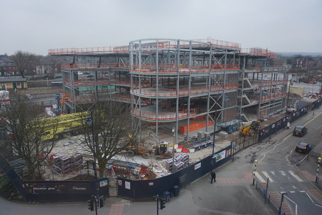
Image: © Bill Boaden Taken: 12 Mar 2015
The new college building is being erected on the site of a former pay-and-display car park. The railway station can be seen to the left.
Images are licensed for reuse under creativecommons.org/licenses/by-sa/2.0
Image Location


Leaflet Map data © OpenStreetMap
Latitude
53.490283
Longitude
-2.093255