Traffic island at the north end of B425 Lode Lane, Olton
Introduction
The photograph on this page of Traffic island at the north end of B425 Lode Lane, Olton by Robin Stott as part of the Geograph project.
The Geograph project started in 2005 with the aim of publishing, organising and preserving representative images for every square kilometre of Great Britain, Ireland and the Isle of Man.

There are currently over 7.5m images from over 14,400 individuals and you can help contribute to the project by visiting https://www.geograph.org.uk
Traffic island at the north end of B425 Lode Lane, Olton
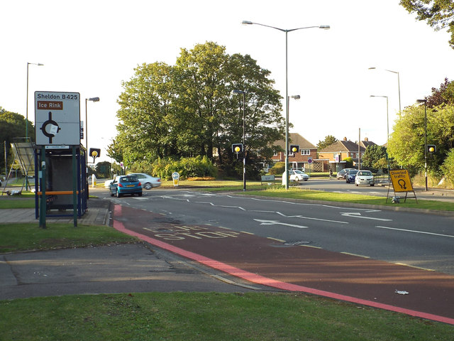
Image: © Robin Stott Taken: 14 Aug 2014
The B425 continues north as Hobs Moat Road, to join the A45 Coventry Road. To the left is Castle Lane; to the right is Old Lode Lane.
Images are licensed for reuse under creativecommons.org/licenses/by-sa/2.0
Image Location
Latitude
52.439823
Longitude
-1.784003