Open space south of Hob?s Moat, Olton
Introduction
The photograph on this page of Open space south of Hob?s Moat, Olton by Robin Stott as part of the Geograph project.
The Geograph project started in 2005 with the aim of publishing, organising and preserving representative images for every square kilometre of Great Britain, Ireland and the Isle of Man.

There are currently over 7.5m images from over 14,400 individuals and you can help contribute to the project by visiting https://www.geograph.org.uk
Open space south of Hob?s Moat, Olton
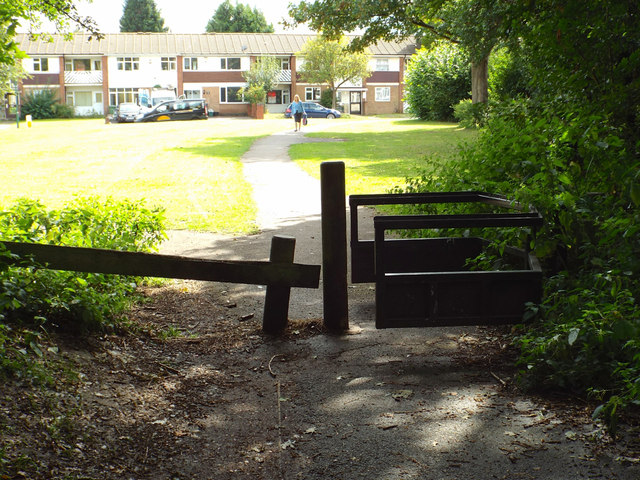
Image: © Robin Stott Taken: 14 Aug 2014
Hob's Moat is a walk-through scheduled ancient monument and local nature reserve http://www.geograph.org.uk/photo/4381641 The road in the background is Castle Lane.
Images are licensed for reuse under creativecommons.org/licenses/by-sa/2.0
Image Location
Latitude
52.439826
Longitude
-1.785768