Newhouses Farm from the east
Introduction
The photograph on this page of Newhouses Farm from the east by Robert Graham as part of the Geograph project.
The Geograph project started in 2005 with the aim of publishing, organising and preserving representative images for every square kilometre of Great Britain, Ireland and the Isle of Man.

There are currently over 7.5m images from over 14,400 individuals and you can help contribute to the project by visiting https://www.geograph.org.uk
Newhouses Farm from the east
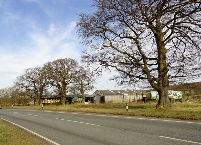
Image: © Robert Graham Taken: 11 Mar 2015
Beside the A691, a short distance west of Lanchester. This road is the main route from Durham to Consett and is in fact the old turnpike road of 1810.
Images are licensed for reuse under creativecommons.org/licenses/by-sa/2.0
Image Location
Latitude
54.832255
Longitude
-1.755873