National Cycle Network Route 68 in Sowerby Bridge
Introduction
The photograph on this page of National Cycle Network Route 68 in Sowerby Bridge by Humphrey Bolton as part of the Geograph project.
The Geograph project started in 2005 with the aim of publishing, organising and preserving representative images for every square kilometre of Great Britain, Ireland and the Isle of Man.

There are currently over 7.5m images from over 14,400 individuals and you can help contribute to the project by visiting https://www.geograph.org.uk
National Cycle Network Route 68 in Sowerby Bridge
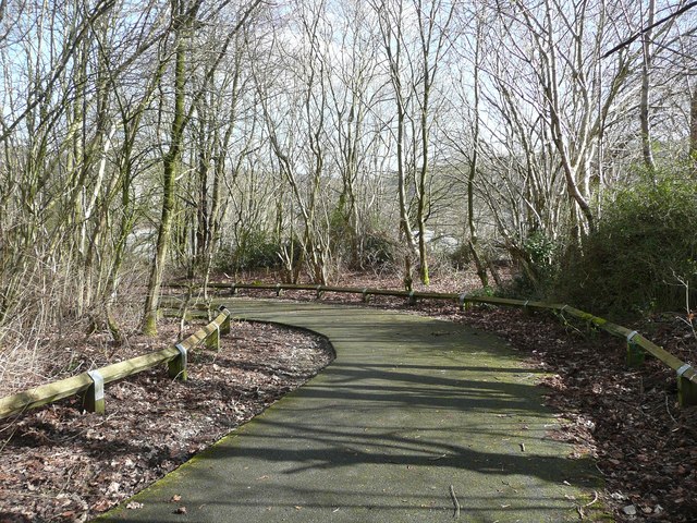
Image: © Humphrey Bolton Taken: 10 Mar 2015
Take it steadily down here, there are some nasty speed humps round the corner.
Images are licensed for reuse under creativecommons.org/licenses/by-sa/2.0
Image Location
Latitude
53.708887
Longitude
-1.918609