Woodburn Park, St Andrews
Introduction
The photograph on this page of Woodburn Park, St Andrews by Jim Bain as part of the Geograph project.
The Geograph project started in 2005 with the aim of publishing, organising and preserving representative images for every square kilometre of Great Britain, Ireland and the Isle of Man.

There are currently over 7.5m images from over 14,400 individuals and you can help contribute to the project by visiting https://www.geograph.org.uk
Woodburn Park, St Andrews
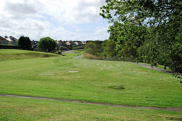
Image: © Jim Bain Taken: 19 May 2007
Well hidden area of parkland to the south of the Kinness Burn. Bounded by Glebe Road and Woodburn Terrace. Also known as Bankie Park.
Images are licensed for reuse under creativecommons.org/licenses/by-sa/2.0
Image Location


Leaflet Map data © OpenStreetMap
Latitude
56.334763
Longitude
-2.787476