Path, Bolnore Wood
Introduction
The photograph on this page of Path, Bolnore Wood by Simon Carey as part of the Geograph project.
The Geograph project started in 2005 with the aim of publishing, organising and preserving representative images for every square kilometre of Great Britain, Ireland and the Isle of Man.

There are currently over 7.5m images from over 14,400 individuals and you can help contribute to the project by visiting https://www.geograph.org.uk
Path, Bolnore Wood
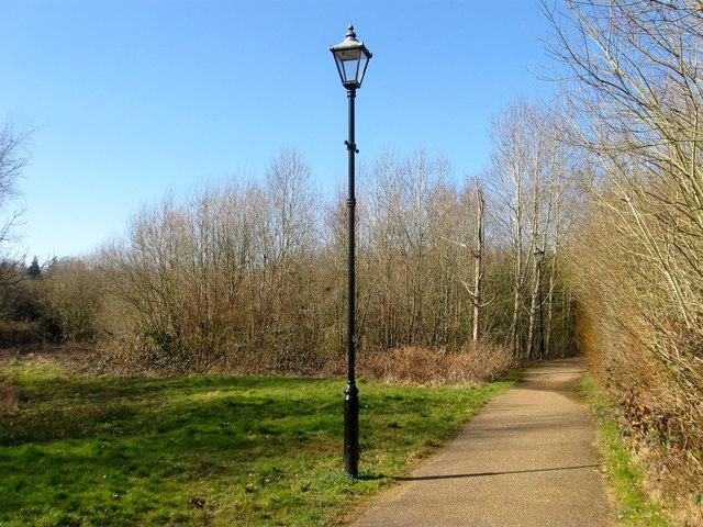
Image: © Simon Carey Taken: 7 Mar 2015
Located at the northern tip of the wood just to the south of a large pond. The path runs from Pondside to Parkfield Way.
Images are licensed for reuse under creativecommons.org/licenses/by-sa/2.0
Image Location
Latitude
50.99334
Longitude
-0.120615