Gravestones, Beeford churchyard
Introduction
The photograph on this page of Gravestones, Beeford churchyard by Paul Harrop as part of the Geograph project.
The Geograph project started in 2005 with the aim of publishing, organising and preserving representative images for every square kilometre of Great Britain, Ireland and the Isle of Man.

There are currently over 7.5m images from over 14,400 individuals and you can help contribute to the project by visiting https://www.geograph.org.uk
Gravestones, Beeford churchyard
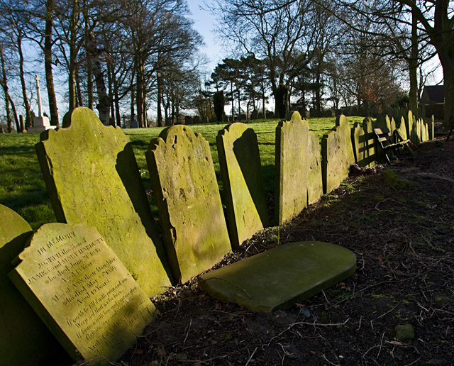
Image: © Paul Harrop Taken: 11 Mar 2015
Many of the older gravestones in the churchyard have been moved and lined up along the southern edge of the graveyard at the Church of St Leonard in Beeford. Presumably they were previously unstable and therefore deemed a risk.
Images are licensed for reuse under creativecommons.org/licenses/by-sa/2.0
Image Location


Leaflet Map data © OpenStreetMap
Latitude
53.972899
Longitude
-0.280217