Southern edge of a former school site in Caerau
Introduction
The photograph on this page of Southern edge of a former school site in Caerau by Jaggery as part of the Geograph project.
The Geograph project started in 2005 with the aim of publishing, organising and preserving representative images for every square kilometre of Great Britain, Ireland and the Isle of Man.

There are currently over 7.5m images from over 14,400 individuals and you can help contribute to the project by visiting https://www.geograph.org.uk
Southern edge of a former school site in Caerau
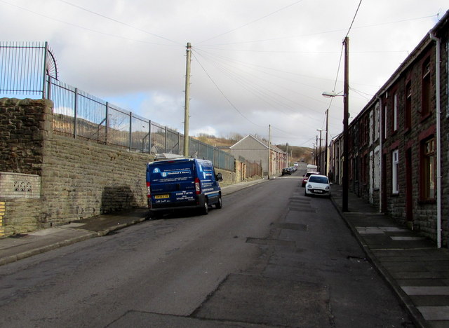
Image: © Jaggery Taken: 27 Feb 2015
Viewed from Blaencaerau Road in February 2015. The railings are at the edge of the former Blaencaerau Junior School, now demolished. The building became redundant on the amalgamation of Caerau Nursery School, Blaenllynfi Infants School and Blaencaerau Junior School to create Caerau Primary School http://www.geograph.org.uk/photo/4373550 which opened on a purpose-built site in December 2009.
Images are licensed for reuse under creativecommons.org/licenses/by-sa/2.0
Image Location
Latitude
51.638831
Longitude
-3.646159