B1113 Bury Road (known locally as Diss Road), Botesdale
Introduction
The photograph on this page of B1113 Bury Road (known locally as Diss Road), Botesdale by Geographer as part of the Geograph project.
The Geograph project started in 2005 with the aim of publishing, organising and preserving representative images for every square kilometre of Great Britain, Ireland and the Isle of Man.

There are currently over 7.5m images from over 14,400 individuals and you can help contribute to the project by visiting https://www.geograph.org.uk
B1113 Bury Road (known locally as Diss Road), Botesdale
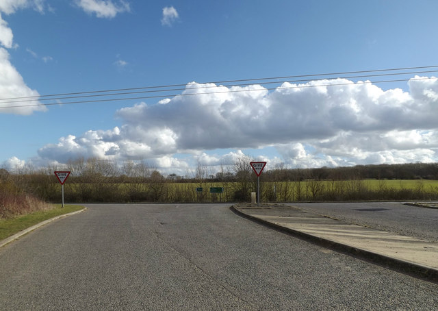
Image: © Geographer Taken: 3 Mar 2015
At the junction with the A143 Botesdale Bypass. Both these roads are shown on the map as Bury Road, as this section of the B1112 was part of the A143 leading from Diss to Bury before the bypass was constructed.
Images are licensed for reuse under creativecommons.org/licenses/by-sa/2.0
Image Location
Latitude
52.343945
Longitude
1.029693