Offa's Dyke Path down Disgwylfa Hill
Introduction
The photograph on this page of Offa's Dyke Path down Disgwylfa Hill by Tim Heaton as part of the Geograph project.
The Geograph project started in 2005 with the aim of publishing, organising and preserving representative images for every square kilometre of Great Britain, Ireland and the Isle of Man.

There are currently over 7.5m images from over 14,400 individuals and you can help contribute to the project by visiting https://www.geograph.org.uk
Offa's Dyke Path down Disgwylfa Hill
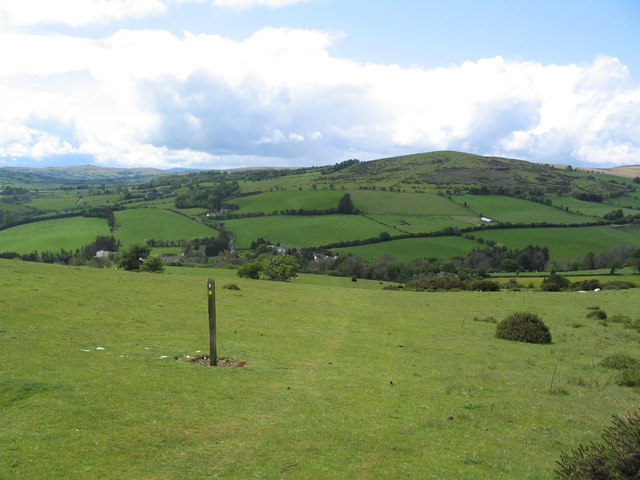
Image: © Tim Heaton Taken: 15 May 2007
View from near the top of the hill, from where the path runs south-west down to Newchurch in the middle distance.
Images are licensed for reuse under creativecommons.org/licenses/by-sa/2.0
Image Location


Leaflet Map data © OpenStreetMap
Latitude
52.152848
Longitude
-3.139577