Oddfellows Place tablet, Pontypridd
Introduction
The photograph on this page of Oddfellows Place tablet, Pontypridd by Jaggery as part of the Geograph project.
The Geograph project started in 2005 with the aim of publishing, organising and preserving representative images for every square kilometre of Great Britain, Ireland and the Isle of Man.

There are currently over 7.5m images from over 14,400 individuals and you can help contribute to the project by visiting https://www.geograph.org.uk
Oddfellows Place tablet, Pontypridd
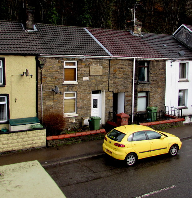
Image: © Jaggery Taken: 8 Mar 2015
The inscription on the tablet is ODDFELLOWS PLACE PONTYPRIDD MDCCCLII The Roman numerals show the year 1852. The house is in Pentrebach Road. Oddfellows Place is not in present-day street maps.
Images are licensed for reuse under creativecommons.org/licenses/by-sa/2.0
Image Location
Latitude
51.599088
Longitude
-3.326495