Mill Lade
Introduction
The photograph on this page of Mill Lade by Anne Burgess as part of the Geograph project.
The Geograph project started in 2005 with the aim of publishing, organising and preserving representative images for every square kilometre of Great Britain, Ireland and the Isle of Man.

There are currently over 7.5m images from over 14,400 individuals and you can help contribute to the project by visiting https://www.geograph.org.uk
Mill Lade
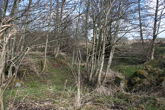
Image: © Anne Burgess Taken: 10 Mar 2015
The mid-Victorian and late Victorian ei x-inch maps both show a mill lade (or mill lead) from the Image] at the Laird's Intake to the site of the old distillery. This must be the start of the lade, though it is partially blocked by what looks like masonry, which is what I am standing on. However none of the maps shows any building on this site.
Images are licensed for reuse under creativecommons.org/licenses/by-sa/2.0
Image Location
Latitude
57.450437
Longitude
-2.775149