Scout Hut
Introduction
The photograph on this page of Scout Hut by Gordon Griffiths as part of the Geograph project.
The Geograph project started in 2005 with the aim of publishing, organising and preserving representative images for every square kilometre of Great Britain, Ireland and the Isle of Man.

There are currently over 7.5m images from over 14,400 individuals and you can help contribute to the project by visiting https://www.geograph.org.uk
Scout Hut
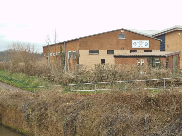
Image: © Gordon Griffiths Taken: 9 Mar 2015
The view across the Kyre Brook in Tenbury Wells of the Scout and Guide Hut.
Images are licensed for reuse under creativecommons.org/licenses/by-sa/2.0
Image Location


Leaflet Map data © OpenStreetMap
Latitude
52.311327
Longitude
-2.591668