Diss Road, Botesdale
Introduction
The photograph on this page of Diss Road, Botesdale by Geographer as part of the Geograph project.
The Geograph project started in 2005 with the aim of publishing, organising and preserving representative images for every square kilometre of Great Britain, Ireland and the Isle of Man.

There are currently over 7.5m images from over 14,400 individuals and you can help contribute to the project by visiting https://www.geograph.org.uk
Diss Road, Botesdale
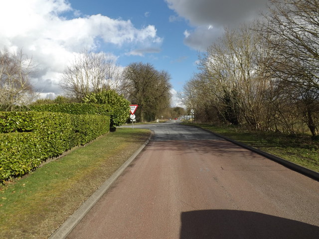
Image: © Geographer Taken: 3 Mar 2015
Looking towards the B1113 Hall Lane and B1113 Bury Road (as it is marked on the map) but known locally as the continuation of Diss Road because it leads to Diss.
Images are licensed for reuse under creativecommons.org/licenses/by-sa/2.0
Image Location
Latitude
52.345625
Longitude
1.011848