Main Road, Wetley Rocks **Public Footpath Sign**
Introduction
The photograph on this page of Main Road, Wetley Rocks **Public Footpath Sign** by Stu JP as part of the Geograph project.
The Geograph project started in 2005 with the aim of publishing, organising and preserving representative images for every square kilometre of Great Britain, Ireland and the Isle of Man.

There are currently over 7.5m images from over 14,400 individuals and you can help contribute to the project by visiting https://www.geograph.org.uk
Main Road, Wetley Rocks **Public Footpath Sign**
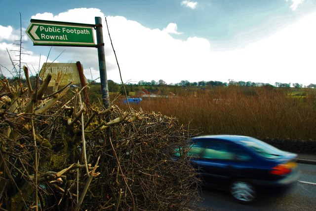
Image: © Stu JP Taken: 10 Mar 2015
A Public Footpath signpost next to the main road in Wetley Rocks. Behind the camera is a track with an old barn beside it, and this footpath leads you to Rownall Road, which will take you towards Werrington and Bagnall.
Images are licensed for reuse under creativecommons.org/licenses/by-sa/2.0
Image Location
Latitude
53.034305
Longitude
-2.059459