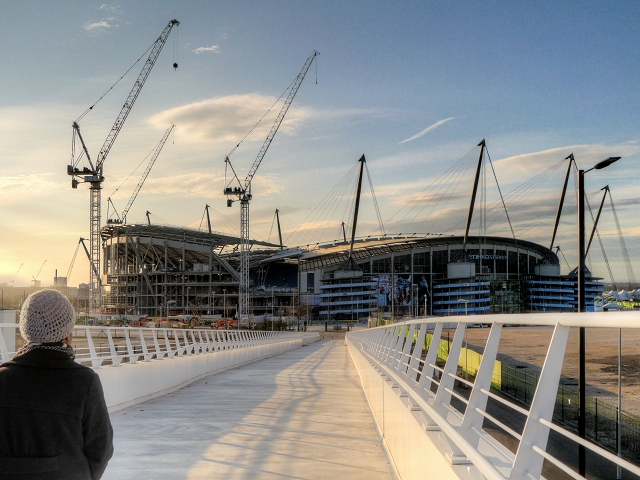
Etihad Stadium, Manchester
Introduction
The photograph on this page of Etihad Stadium, Manchester by David Dixon as part of the Geograph project.
The Geograph project started in 2005 with the aim of publishing, organising and preserving representative images for every square kilometre of Great Britain, Ireland and the Isle of Man.
There are currently over 7.5m images from over 14,400 individuals and you can help contribute to the project by visiting https://www.geograph.org.uk

Image: © David Dixon Taken: 7 Mar 2015
Looking along the new pedestrian walkway/bridge over the Ashton New Road/Alan Turing Way crossroads, towards the Etihad Stadium. The Etihad Stadium was originally built for the 2002 Commonwealth Games and named "City of Manchester Stadium". After the Games, The stadium was leased to Manchester City FC as a replacement for their old ground at Maine Road. In 2010, the club announced that the stadium would be renamed "The Etihad Stadium" as part of a sponsorship deal. It is currently the fifth-largest stadium in the Premier League and the twelfth-largest in the UK, with a seating capacity of 47805. Work began in March 2014 to add approximately 6000 seats to the South Stand; a project due to be completed in time for the start of the 2015/16 Barclays Premier League season. The cranes on the left are working on the South Stand extension. Planning permission has also been granted for a third phase which could see a further 6000 seats and a total capacity of approx. 61000, making the Etihad the second largest stadium in the Premier League, second only to local rivals United whose Old Trafford ground holds in excess of 76000 spectators (http://www.mcfc.co.uk/news/club-news/2014/june/manchester-city-announce-second-phase-of-etihad-expansion Manchester City FC).

