Ynysangharad Road not a through route for motor vehicles, Pontypridd
Introduction
The photograph on this page of Ynysangharad Road not a through route for motor vehicles, Pontypridd by Jaggery as part of the Geograph project.
The Geograph project started in 2005 with the aim of publishing, organising and preserving representative images for every square kilometre of Great Britain, Ireland and the Isle of Man.

There are currently over 7.5m images from over 14,400 individuals and you can help contribute to the project by visiting https://www.geograph.org.uk
Ynysangharad Road not a through route for motor vehicles, Pontypridd
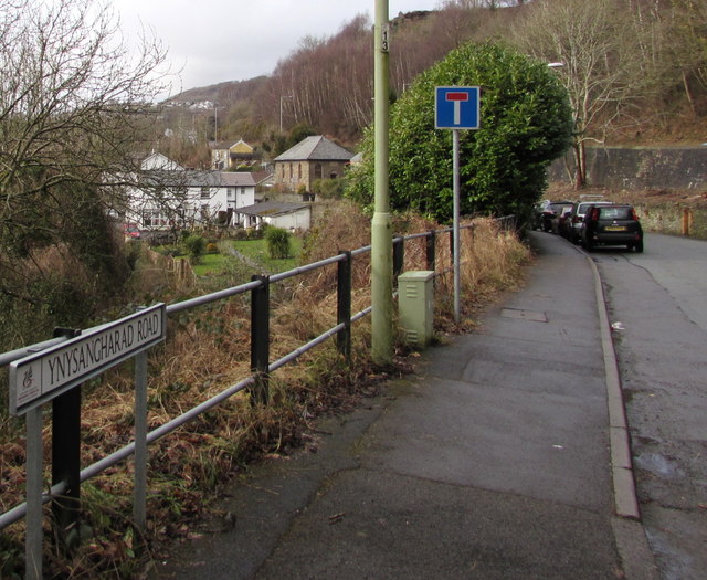
Image: © Jaggery Taken: 8 Mar 2015
This is the SE end of Ynysangharad Road, at the Pentrebach Road junction. There are five metal posts http://www.geograph.org.uk/photo/4378261 across Ynysangharad Road 250 metres ahead.
Images are licensed for reuse under creativecommons.org/licenses/by-sa/2.0
Image Location
Latitude
51.602107
Longitude
-3.329904