Warrington Crescent
Introduction
The photograph on this page of Warrington Crescent by David Anstiss as part of the Geograph project.
The Geograph project started in 2005 with the aim of publishing, organising and preserving representative images for every square kilometre of Great Britain, Ireland and the Isle of Man.

There are currently over 7.5m images from over 14,400 individuals and you can help contribute to the project by visiting https://www.geograph.org.uk
Warrington Crescent
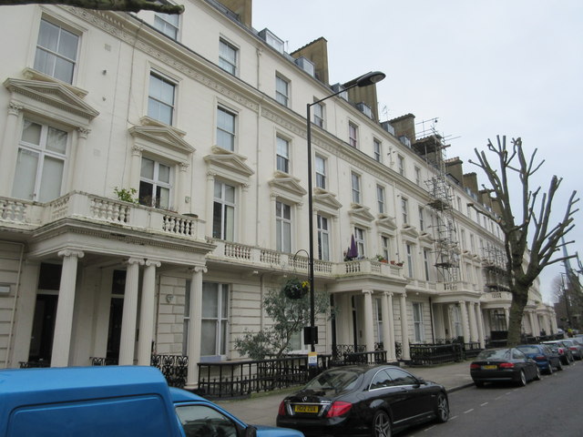
Image: © David Anstiss Taken: 8 Mar 2015
This curved terrace (1-49) is Grade II listed. No.43 is on the far left. See http://www.britishlistedbuildings.co.uk/en-207460-1-49-warrington-crescent-w9-greater-lond for more details about the terrace.
Images are licensed for reuse under creativecommons.org/licenses/by-sa/2.0
Image Location
Latitude
51.52555
Longitude
-0.184125