Birdston embankment
Introduction
The photograph on this page of Birdston embankment by Raymond Okonski as part of the Geograph project.
The Geograph project started in 2005 with the aim of publishing, organising and preserving representative images for every square kilometre of Great Britain, Ireland and the Isle of Man.

There are currently over 7.5m images from over 14,400 individuals and you can help contribute to the project by visiting https://www.geograph.org.uk
Birdston embankment
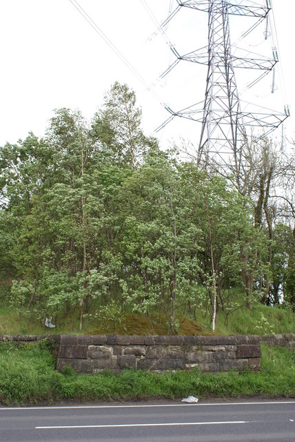
Image: © Raymond Okonski Taken: 18 May 2007
Looking east, this tree-covered embankment was once part of the Kelvin Valley railway, a footpath runs along the top until it reaches Glazert Water.
Images are licensed for reuse under creativecommons.org/licenses/by-sa/2.0
Image Location
Latitude
55.951644
Longitude
-4.156696