Field boundary near Uphill
Introduction
The photograph on this page of Field boundary near Uphill by Derek Harper as part of the Geograph project.
The Geograph project started in 2005 with the aim of publishing, organising and preserving representative images for every square kilometre of Great Britain, Ireland and the Isle of Man.

There are currently over 7.5m images from over 14,400 individuals and you can help contribute to the project by visiting https://www.geograph.org.uk
Field boundary near Uphill
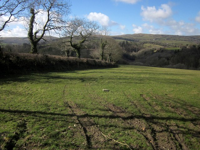
Image: © Derek Harper Taken: 4 Mar 2015
Alongside a track carrying footpath 614 2/1 down to the River Lynher. Beyond is Bodmin Moor. This is from the same spot as Image], looking to the left.
Images are licensed for reuse under creativecommons.org/licenses/by-sa/2.0
Image Location
Latitude
50.543039
Longitude
-4.410516