Lower Rillaton
Introduction
The photograph on this page of Lower Rillaton by Derek Harper as part of the Geograph project.
The Geograph project started in 2005 with the aim of publishing, organising and preserving representative images for every square kilometre of Great Britain, Ireland and the Isle of Man.

There are currently over 7.5m images from over 14,400 individuals and you can help contribute to the project by visiting https://www.geograph.org.uk
Lower Rillaton
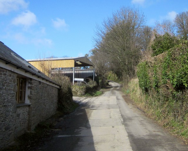
Image: © Derek Harper Taken: 4 Mar 2015
The lane from Rilla Mill to North Coombe Farm passes a left turn to Starabridge. The sign proclaims "Lower Lake Shooting Grounds", which I felt I should avoid. two contrasting barns here; a converted one on the immediate left.
Images are licensed for reuse under creativecommons.org/licenses/by-sa/2.0
Image Location
Latitude
50.539371
Longitude
-4.405247