Lower Weston, disused school
Introduction
The photograph on this page of Lower Weston, disused school by Mike Faherty as part of the Geograph project.
The Geograph project started in 2005 with the aim of publishing, organising and preserving representative images for every square kilometre of Great Britain, Ireland and the Isle of Man.

There are currently over 7.5m images from over 14,400 individuals and you can help contribute to the project by visiting https://www.geograph.org.uk
Lower Weston, disused school
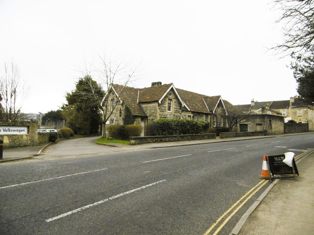
Image: © Mike Faherty Taken: 8 Mar 2015
On Upper Bristol Road; according to signage, now an educational depot.
Images are licensed for reuse under creativecommons.org/licenses/by-sa/2.0
Image Location
Latitude
51.384135
Longitude
-2.384342