The Red Lion
Introduction
The photograph on this page of The Red Lion by Bob Harvey as part of the Geograph project.
The Geograph project started in 2005 with the aim of publishing, organising and preserving representative images for every square kilometre of Great Britain, Ireland and the Isle of Man.

There are currently over 7.5m images from over 14,400 individuals and you can help contribute to the project by visiting https://www.geograph.org.uk
The Red Lion
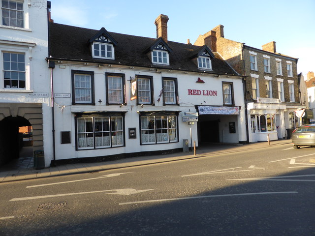
Image: © Bob Harvey Taken: 7 Mar 2015
A grade II listed building, from the late 17th or early 18th century. See https://historicengland.org.uk/listing/the-list/list-entry/1063777 for the english heritage listing
Images are licensed for reuse under creativecommons.org/licenses/by-sa/2.0
Image Location
Latitude
53.208989
Longitude
-0.11479