Farmland above the Wye valley
Introduction
The photograph on this page of Farmland above the Wye valley by Philip Halling as part of the Geograph project.
The Geograph project started in 2005 with the aim of publishing, organising and preserving representative images for every square kilometre of Great Britain, Ireland and the Isle of Man.

There are currently over 7.5m images from over 14,400 individuals and you can help contribute to the project by visiting https://www.geograph.org.uk
Farmland above the Wye valley
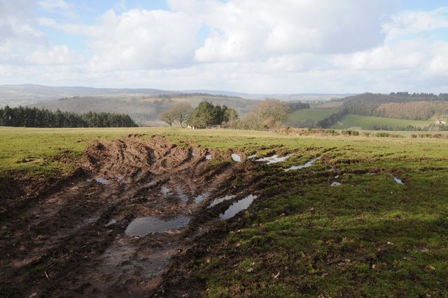
Image: © Philip Halling Taken: 2 Mar 2015
Farmland above the Wye valley near Sychnant Farm. The ruined remains of Pentwyn can be seen in the trees.
Images are licensed for reuse under creativecommons.org/licenses/by-sa/2.0
Image Location
Latitude
51.993399
Longitude
-3.19786