Redan Hill
Introduction
The photograph on this page of Redan Hill by Alan Hunt as part of the Geograph project.
The Geograph project started in 2005 with the aim of publishing, organising and preserving representative images for every square kilometre of Great Britain, Ireland and the Isle of Man.

There are currently over 7.5m images from over 14,400 individuals and you can help contribute to the project by visiting https://www.geograph.org.uk
Redan Hill
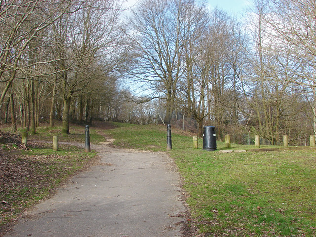
Image: © Alan Hunt Taken: 4 Mar 2015
The path to Redan Hill defensive works from Redan Road. The path crosses over the top of the Redan Hill railway tunnel at this point.
Images are licensed for reuse under creativecommons.org/licenses/by-sa/2.0
Image Location


Leaflet Map data © OpenStreetMap
Latitude
51.248719
Longitude
-0.75143