Swing bridge near the Pontcysyllte aqueduct
Introduction
The photograph on this page of Swing bridge near the Pontcysyllte aqueduct by Chris Allen as part of the Geograph project.
The Geograph project started in 2005 with the aim of publishing, organising and preserving representative images for every square kilometre of Great Britain, Ireland and the Isle of Man.

There are currently over 7.5m images from over 14,400 individuals and you can help contribute to the project by visiting https://www.geograph.org.uk
Swing bridge near the Pontcysyllte aqueduct
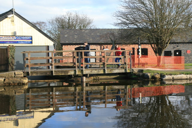
Image: © Chris Allen Taken: 8 Mar 2015
This crosses the entrance to dry docks, one of which appears a bit silted up.
Images are licensed for reuse under creativecommons.org/licenses/by-sa/2.0
Image Location
Latitude
52.972176
Longitude
-3.087155