Borehamwood: A411 Barnet Lane roundabout
Introduction
The photograph on this page of Borehamwood: A411 Barnet Lane roundabout by Nigel Cox as part of the Geograph project.
The Geograph project started in 2005 with the aim of publishing, organising and preserving representative images for every square kilometre of Great Britain, Ireland and the Isle of Man.

There are currently over 7.5m images from over 14,400 individuals and you can help contribute to the project by visiting https://www.geograph.org.uk
Borehamwood: A411 Barnet Lane roundabout
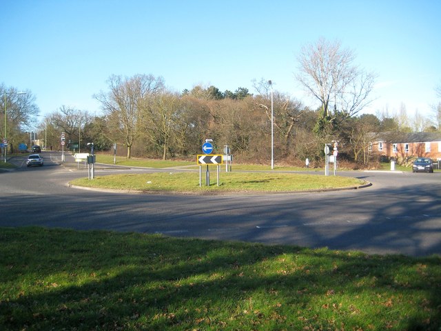
Image: © Nigel Cox Taken: 7 Mar 2015
Furzehill Road, to the left, and Farriers Way, to the right, lead off this roundabout.
Images are licensed for reuse under creativecommons.org/licenses/by-sa/2.0
Image Location
Latitude
51.644784
Longitude
-0.261027