Updown Hill, Bolnore Village
Introduction
The photograph on this page of Updown Hill, Bolnore Village by Simon Carey as part of the Geograph project.
The Geograph project started in 2005 with the aim of publishing, organising and preserving representative images for every square kilometre of Great Britain, Ireland and the Isle of Man.

There are currently over 7.5m images from over 14,400 individuals and you can help contribute to the project by visiting https://www.geograph.org.uk
Updown Hill, Bolnore Village
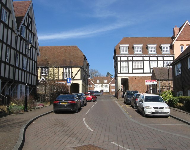
Image: © Simon Carey Taken: 7 Mar 2015
Updown Hill forms a square around Image in the middle part of the Bolnore development with this section on the western side containing some fake timber framing.
Images are licensed for reuse under creativecommons.org/licenses/by-sa/2.0
Image Location
Latitude
50.99005
Longitude
-0.117328