Upper Stables, Bolnore Village
Introduction
The photograph on this page of Upper Stables, Bolnore Village by Simon Carey as part of the Geograph project.
The Geograph project started in 2005 with the aim of publishing, organising and preserving representative images for every square kilometre of Great Britain, Ireland and the Isle of Man.

There are currently over 7.5m images from over 14,400 individuals and you can help contribute to the project by visiting https://www.geograph.org.uk
Upper Stables, Bolnore Village
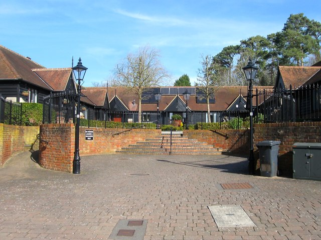
Image: © Simon Carey Taken: 7 Mar 2015
Like the pretend barn conversion, see Image, there are some pretend stables conversion in the new development. These have never seen a horse in their entire existence. Located off Parkfield Way and occupying a former field called Six Acres according to Cuckfield's 1843 tithe map.
Images are licensed for reuse under creativecommons.org/licenses/by-sa/2.0
Image Location
Latitude
50.99465
Longitude
-0.118139