Seaton Down and Holyford valley
Introduction
The photograph on this page of Seaton Down and Holyford valley by Derek Harper as part of the Geograph project.
The Geograph project started in 2005 with the aim of publishing, organising and preserving representative images for every square kilometre of Great Britain, Ireland and the Isle of Man.

There are currently over 7.5m images from over 14,400 individuals and you can help contribute to the project by visiting https://www.geograph.org.uk
Seaton Down and Holyford valley
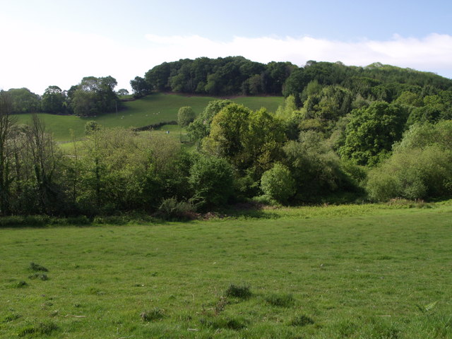
Image: © Derek Harper Taken: 18 May 2007
The wooded north slope of Seaton Down rises above the valley of the Holyford Goyle. The hamlet of Holyford is just to the left. View from Colyton Bridleway 38.
Images are licensed for reuse under creativecommons.org/licenses/by-sa/2.0
Image Location
Latitude
50.722568
Longitude
-3.085111