A section of the Jack Foat Trust Country Park
Introduction
The photograph on this page of A section of the Jack Foat Trust Country Park by John Baker as part of the Geograph project.
The Geograph project started in 2005 with the aim of publishing, organising and preserving representative images for every square kilometre of Great Britain, Ireland and the Isle of Man.

There are currently over 7.5m images from over 14,400 individuals and you can help contribute to the project by visiting https://www.geograph.org.uk
A section of the Jack Foat Trust Country Park
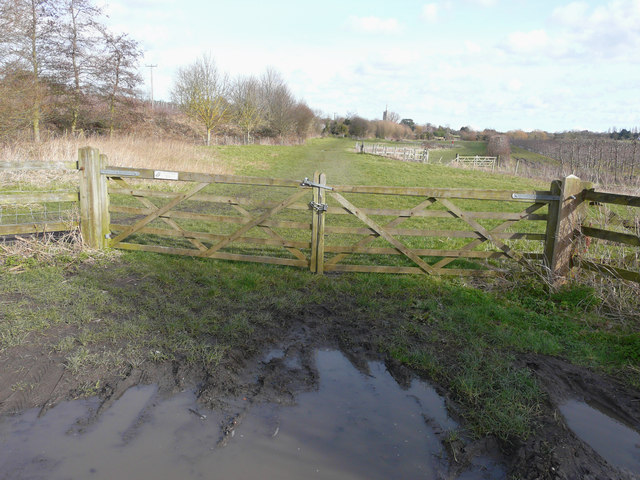
Image: © John Baker Taken: 22 Feb 2015
Seen from Poulton Lane, this was also the route of the former East Kent Light Railway from Ash, whose church tower can be seen in the distance. Jack Foat was an Ash fruit grower who died in 1978.
Images are licensed for reuse under creativecommons.org/licenses/by-sa/2.0
Image Location
Latitude
51.274662
Longitude
1.268657