The Red Lion pub and culverted stream, Chalgrove
Introduction
The photograph on this page of The Red Lion pub and culverted stream, Chalgrove by Bikeboy as part of the Geograph project.
The Geograph project started in 2005 with the aim of publishing, organising and preserving representative images for every square kilometre of Great Britain, Ireland and the Isle of Man.

There are currently over 7.5m images from over 14,400 individuals and you can help contribute to the project by visiting https://www.geograph.org.uk
The Red Lion pub and culverted stream, Chalgrove
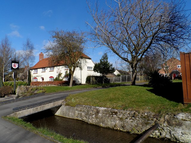
Image: © Bikeboy Taken: 18 Feb 2015
Originally built in C15/C16 as a house and later used as a pub. Remodelled in C18 and C20. See http://www.britishlistedbuildings.co.uk/en-248889-the-red-lion-public-house-chalgrove-oxfo for entry in British Listed Buildings
Images are licensed for reuse under creativecommons.org/licenses/by-sa/2.0
Image Location
Latitude
51.667458
Longitude
-1.080771