Junction of Clos Parc Radur and Llantrisant Road near Radyr, Cardiff
Introduction
The photograph on this page of Junction of Clos Parc Radur and Llantrisant Road near Radyr, Cardiff by Jaggery as part of the Geograph project.
The Geograph project started in 2005 with the aim of publishing, organising and preserving representative images for every square kilometre of Great Britain, Ireland and the Isle of Man.

There are currently over 7.5m images from over 14,400 individuals and you can help contribute to the project by visiting https://www.geograph.org.uk
Junction of Clos Parc Radur and Llantrisant Road near Radyr, Cardiff
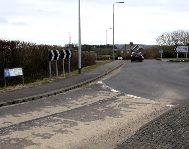
Image: © Jaggery Taken: 5 Mar 2015
The street name sign on the left shows CLOS PARC RADUR. The black arrow on the sign on the right points left along the A4119 Llantrisant Road towards Radyr and Cardiff city centre.
Images are licensed for reuse under creativecommons.org/licenses/by-sa/2.0
Image Location
Latitude
51.50842
Longitude
-3.255702