The side of Wimbledon Waitrose, from the railway
Introduction
The photograph on this page of The side of Wimbledon Waitrose, from the railway by Christopher Hilton as part of the Geograph project.
The Geograph project started in 2005 with the aim of publishing, organising and preserving representative images for every square kilometre of Great Britain, Ireland and the Isle of Man.

There are currently over 7.5m images from over 14,400 individuals and you can help contribute to the project by visiting https://www.geograph.org.uk
The side of Wimbledon Waitrose, from the railway
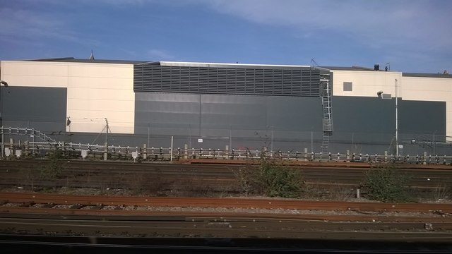
Image: © Christopher Hilton Taken: 5 Mar 2015
If late twentieth / early twenty-first century architecture has a defining form, the big shed is probably it.
Images are licensed for reuse under creativecommons.org/licenses/by-sa/2.0
Image Location


Leaflet Map data © OpenStreetMap
Latitude
51.424927
Longitude
-0.201781