Typhoon Close, Bracknell
Introduction
The photograph on this page of Typhoon Close, Bracknell by Alan Hunt as part of the Geograph project.
The Geograph project started in 2005 with the aim of publishing, organising and preserving representative images for every square kilometre of Great Britain, Ireland and the Isle of Man.

There are currently over 7.5m images from over 14,400 individuals and you can help contribute to the project by visiting https://www.geograph.org.uk
Typhoon Close, Bracknell
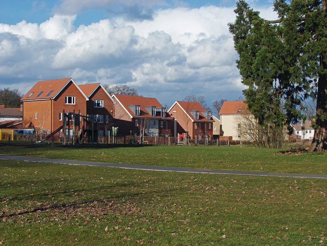
Image: © Alan Hunt Taken: 3 Mar 2015
Modern housing on Typhoon Close facing onto the large area of parkland that once belonged to the RAF Staff College. All the roads on this estate appear to be named after aeroplane types.
Images are licensed for reuse under creativecommons.org/licenses/by-sa/2.0
Image Location
Latitude
51.408836
Longitude
-0.739885