Moira Road in Woodville
Introduction
The photograph on this page of Moira Road in Woodville by Jonathan Clitheroe as part of the Geograph project.
The Geograph project started in 2005 with the aim of publishing, organising and preserving representative images for every square kilometre of Great Britain, Ireland and the Isle of Man.

There are currently over 7.5m images from over 14,400 individuals and you can help contribute to the project by visiting https://www.geograph.org.uk
Moira Road in Woodville
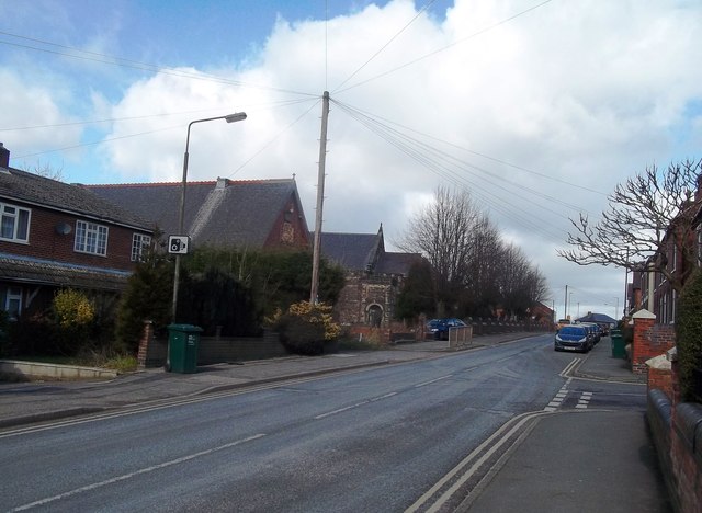
Image: © Jonathan Clitheroe Taken: 4 Mar 2015
The church of St Stephen the Martyr is situated behind the railings to the left of the road. It's just outside this grid square in SK3119. The junction on the near right (just inside this square) is with Belvedere Road.
Images are licensed for reuse under creativecommons.org/licenses/by-sa/2.0
Image Location
Latitude
52.767595
Longitude
-1.534876