Clayton Road, Hendy
Introduction
The photograph on this page of Clayton Road, Hendy by Jaggery as part of the Geograph project.
The Geograph project started in 2005 with the aim of publishing, organising and preserving representative images for every square kilometre of Great Britain, Ireland and the Isle of Man.

There are currently over 7.5m images from over 14,400 individuals and you can help contribute to the project by visiting https://www.geograph.org.uk
Clayton Road, Hendy
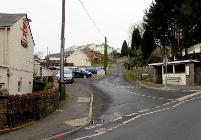
Image: © Jaggery Taken: 11 Feb 2015
Clayton Road ascends from the A48 Fforest Road junction. Hendy is part of the community of Llanedi, Carmarthenshire. The Black Horse Inn http://www.geograph.org.uk/photo/4372680 is on the left.
Images are licensed for reuse under creativecommons.org/licenses/by-sa/2.0
Image Location
Latitude
51.716675
Longitude
-4.048107