Tamar valley below Latchley
Introduction
The photograph on this page of Tamar valley below Latchley by Derek Harper as part of the Geograph project.
The Geograph project started in 2005 with the aim of publishing, organising and preserving representative images for every square kilometre of Great Britain, Ireland and the Isle of Man.

There are currently over 7.5m images from over 14,400 individuals and you can help contribute to the project by visiting https://www.geograph.org.uk
Tamar valley below Latchley
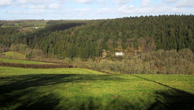
Image: © Derek Harper Taken: 4 Mar 2015
From the Tamar Valley Discovery Trail at a lane junction near the Duchy Great Consols Mine, with Weir Cottage by the river, and Blanchdown Wood behind it.
Images are licensed for reuse under creativecommons.org/licenses/by-sa/2.0
Image Location


Leaflet Map data © OpenStreetMap
Latitude
50.53881
Longitude
-4.239526