Club House, Berkhamsted Golf Club
Introduction
The photograph on this page of Club House, Berkhamsted Golf Club by Jack Hill as part of the Geograph project.
The Geograph project started in 2005 with the aim of publishing, organising and preserving representative images for every square kilometre of Great Britain, Ireland and the Isle of Man.

There are currently over 7.5m images from over 14,400 individuals and you can help contribute to the project by visiting https://www.geograph.org.uk
Club House, Berkhamsted Golf Club
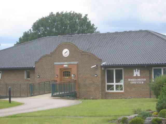
Image: © Jack Hill Taken: 25 Aug 2005
The golf club is on the high ground of Berkhamsted Common, NE of the town itself. Some holes technically come within Potten End parish. Wonder if the memberships fees are high ??
Images are licensed for reuse under creativecommons.org/licenses/by-sa/2.0
Image Location
Latitude
51.769876
Longitude
-0.546668