Manor Farm Nature Reserve, Norbury
Introduction
The photograph on this page of Manor Farm Nature Reserve, Norbury by Marathon as part of the Geograph project.
The Geograph project started in 2005 with the aim of publishing, organising and preserving representative images for every square kilometre of Great Britain, Ireland and the Isle of Man.

There are currently over 7.5m images from over 14,400 individuals and you can help contribute to the project by visiting https://www.geograph.org.uk
Manor Farm Nature Reserve, Norbury
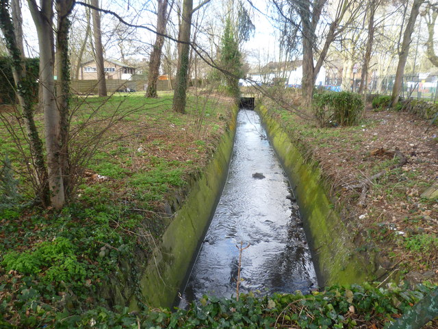
Image: © Marathon Taken: 25 Feb 2015
In this photograph, Norbury Avenue is on the right. The stream is the Norbury Brook which becomes the River Graveney beyond Norbury station. This in turn flows into the River Wandle.
Images are licensed for reuse under creativecommons.org/licenses/by-sa/2.0
Image Location


Leaflet Map data © OpenStreetMap
Latitude
51.409453
Longitude
-0.115537