Field south of Coad's Green
Introduction
The photograph on this page of Field south of Coad's Green by Derek Harper as part of the Geograph project.
The Geograph project started in 2005 with the aim of publishing, organising and preserving representative images for every square kilometre of Great Britain, Ireland and the Isle of Man.

There are currently over 7.5m images from over 14,400 individuals and you can help contribute to the project by visiting https://www.geograph.org.uk
Field south of Coad's Green
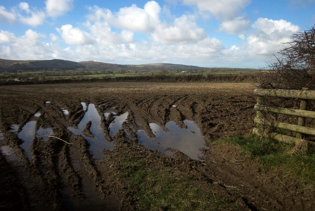
Image: © Derek Harper Taken: 4 Mar 2015
Footpath 528/18/1 runs alongside the hedge across this narrow field, having left the lane from which this was taken a few metres further on. In the distance is Bodmin Moor.
Images are licensed for reuse under creativecommons.org/licenses/by-sa/2.0
Image Location


Leaflet Map data © OpenStreetMap
Latitude
50.560589
Longitude
-4.409999