Lane to Uphill
Introduction
The photograph on this page of Lane to Uphill by Derek Harper as part of the Geograph project.
The Geograph project started in 2005 with the aim of publishing, organising and preserving representative images for every square kilometre of Great Britain, Ireland and the Isle of Man.

There are currently over 7.5m images from over 14,400 individuals and you can help contribute to the project by visiting https://www.geograph.org.uk
Lane to Uphill
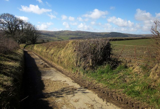
Image: © Derek Harper Taken: 4 Mar 2015
Descending towards the edge of the square and a trio of farms called North Coombe, Southcombe and Westcombe. But where is Eastcombe? In the distance is Bodmin Moor.
Images are licensed for reuse under creativecommons.org/licenses/by-sa/2.0
Image Location


Leaflet Map data © OpenStreetMap
Latitude
50.550188
Longitude
-4.404104