Haughton Green (looking SW)
Introduction
The photograph on this page of Haughton Green (looking SW) by Gerald England as part of the Geograph project.
The Geograph project started in 2005 with the aim of publishing, organising and preserving representative images for every square kilometre of Great Britain, Ireland and the Isle of Man.

There are currently over 7.5m images from over 14,400 individuals and you can help contribute to the project by visiting https://www.geograph.org.uk
Haughton Green (looking SW)
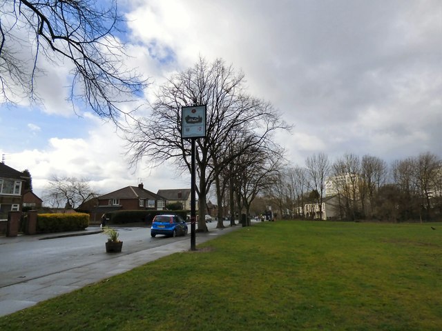
Image: © Gerald England Taken: 2 Mar 2015
Haughton Green is an ancient locality in South-east Lancashire. In 1894 it merged with neighbouring Denton. Originally a rural area, with most of its built up areas along the main roads and in the old village, it became more built up when the Manchester (Beswick) overspill estate was located here in the late 50s behind existing housing on Two Trees Lane. There was also building of new middle class housing in and around the original village at the same time. This increased its size significantly as housing now extended down into the valley and next to wooded areas. This view is looking along Haughton Green Road past the Welcome sign Image towards the church Image . On the right in the foreground are 19th century cottages with a 20th century high rise apartment block in the background. On the left is a modern estate of private housing.
Images are licensed for reuse under creativecommons.org/licenses/by-sa/2.0
Image Location
Latitude
53.439852
Longitude
-2.10022