Bolgoed Road houses near Bolgoed Isaf Farm Pontarddulais
Introduction
The photograph on this page of Bolgoed Road houses near Bolgoed Isaf Farm Pontarddulais by Jaggery as part of the Geograph project.
The Geograph project started in 2005 with the aim of publishing, organising and preserving representative images for every square kilometre of Great Britain, Ireland and the Isle of Man.

There are currently over 7.5m images from over 14,400 individuals and you can help contribute to the project by visiting https://www.geograph.org.uk
Bolgoed Road houses near Bolgoed Isaf Farm Pontarddulais
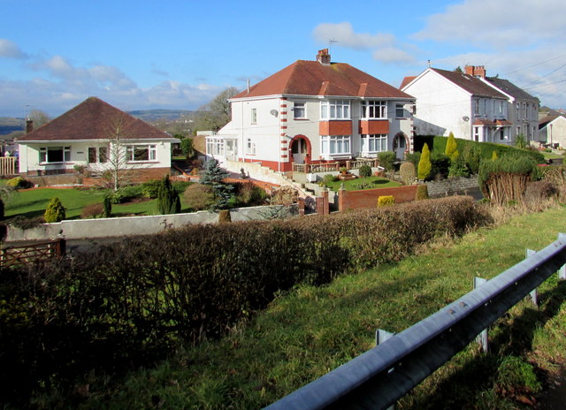
Image: © Jaggery Taken: 14 Feb 2015
Along a side road leading to the farm. Viewed from the main course of Bolgoed Road (the A48).
Images are licensed for reuse under creativecommons.org/licenses/by-sa/2.0
Image Location


Leaflet Map data © OpenStreetMap
Latitude
51.708436
Longitude
-4.025444