Southern boundary of Morganstown, Cardiff
Introduction
The photograph on this page of Southern boundary of Morganstown, Cardiff by Jaggery as part of the Geograph project.
The Geograph project started in 2005 with the aim of publishing, organising and preserving representative images for every square kilometre of Great Britain, Ireland and the Isle of Man.

There are currently over 7.5m images from over 14,400 individuals and you can help contribute to the project by visiting https://www.geograph.org.uk
Southern boundary of Morganstown, Cardiff
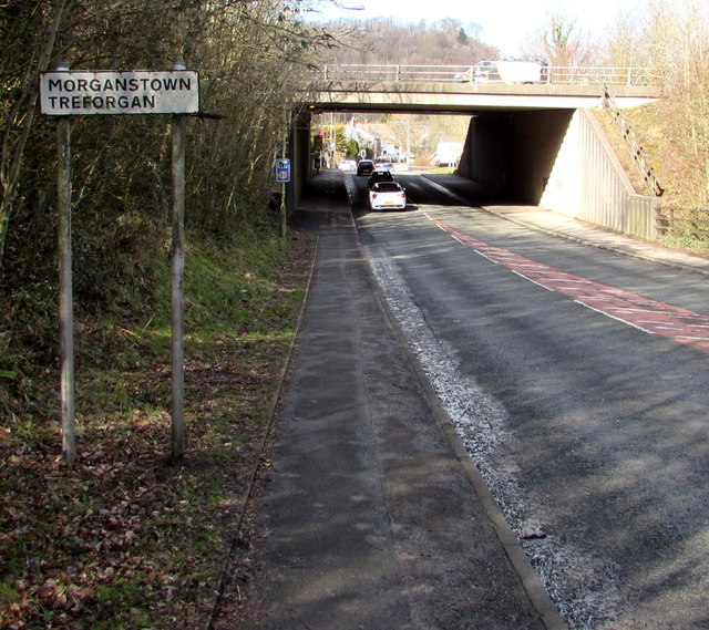
Image: © Jaggery Taken: 3 Mar 2015
The B4262 from Radyr reaches Morganstown (Treforgan in Welsh), part of Radyr and Morganstown Community, an outer suburb of Cardiff. The M4 overbridge is in the background.
Images are licensed for reuse under creativecommons.org/licenses/by-sa/2.0
Image Location
Latitude
51.524766
Longitude
-3.257449