View east from Disgwylfa
Introduction
The photograph on this page of View east from Disgwylfa by Jonathan Billinger as part of the Geograph project.
The Geograph project started in 2005 with the aim of publishing, organising and preserving representative images for every square kilometre of Great Britain, Ireland and the Isle of Man.

There are currently over 7.5m images from over 14,400 individuals and you can help contribute to the project by visiting https://www.geograph.org.uk
View east from Disgwylfa
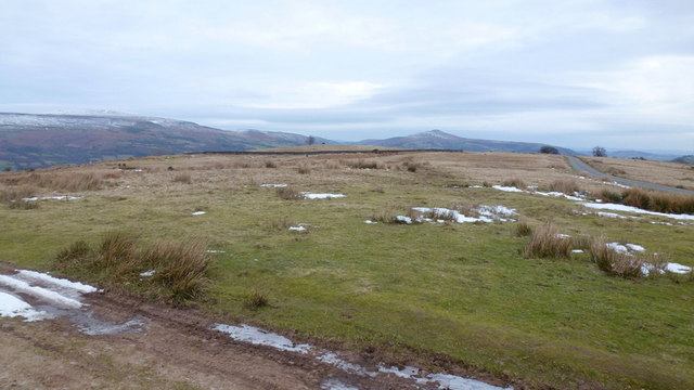
Image: © Jonathan Billinger Taken: 5 Feb 2015
The cone of Y Fal very clearly obvious.
Images are licensed for reuse under creativecommons.org/licenses/by-sa/2.0
Image Location
Latitude
51.855811
Longitude
-3.208722