Cheadle: footpath at end of Highfield Avenue
Introduction
The photograph on this page of Cheadle: footpath at end of Highfield Avenue by Jonathan Hutchins as part of the Geograph project.
The Geograph project started in 2005 with the aim of publishing, organising and preserving representative images for every square kilometre of Great Britain, Ireland and the Isle of Man.

There are currently over 7.5m images from over 14,400 individuals and you can help contribute to the project by visiting https://www.geograph.org.uk
Cheadle: footpath at end of Highfield Avenue
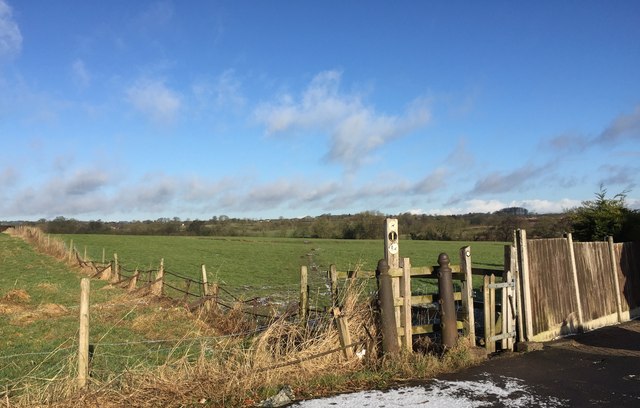
Image: © Jonathan Hutchins Taken: 3 Mar 2015
Leading out into the fields from the end of Highfield Avenue, the footpath's designation is FP Cheadle 31.
Images are licensed for reuse under creativecommons.org/licenses/by-sa/2.0
Image Location
Latitude
52.994048
Longitude
-1.988934