Field beside Monkton Court Lane
Introduction
The photograph on this page of Field beside Monkton Court Lane by John Baker as part of the Geograph project.
The Geograph project started in 2005 with the aim of publishing, organising and preserving representative images for every square kilometre of Great Britain, Ireland and the Isle of Man.

There are currently over 7.5m images from over 14,400 individuals and you can help contribute to the project by visiting https://www.geograph.org.uk
Field beside Monkton Court Lane
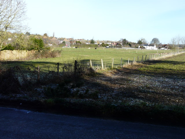
Image: © John Baker Taken: 22 Feb 2015
Seen from Kennel Hill, there had been a severe overnight frost, which had led to black ice on this (and other) roads. It was still very slippery underfoot.
Images are licensed for reuse under creativecommons.org/licenses/by-sa/2.0
Image Location
Latitude
51.195481
Longitude
1.272781