Lane towards Four Ways
Introduction
The photograph on this page of Lane towards Four Ways by Robin Webster as part of the Geograph project.
The Geograph project started in 2005 with the aim of publishing, organising and preserving representative images for every square kilometre of Great Britain, Ireland and the Isle of Man.

There are currently over 7.5m images from over 14,400 individuals and you can help contribute to the project by visiting https://www.geograph.org.uk
Lane towards Four Ways
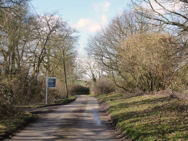
Image: © Robin Webster Taken: 1 Mar 2015
The 'Sold' sign can only refer to farm land, a wood, or possibly a pond that could have a value for fishing.
Images are licensed for reuse under creativecommons.org/licenses/by-sa/2.0
Image Location


Leaflet Map data © OpenStreetMap
Latitude
51.944415
Longitude
0.736063